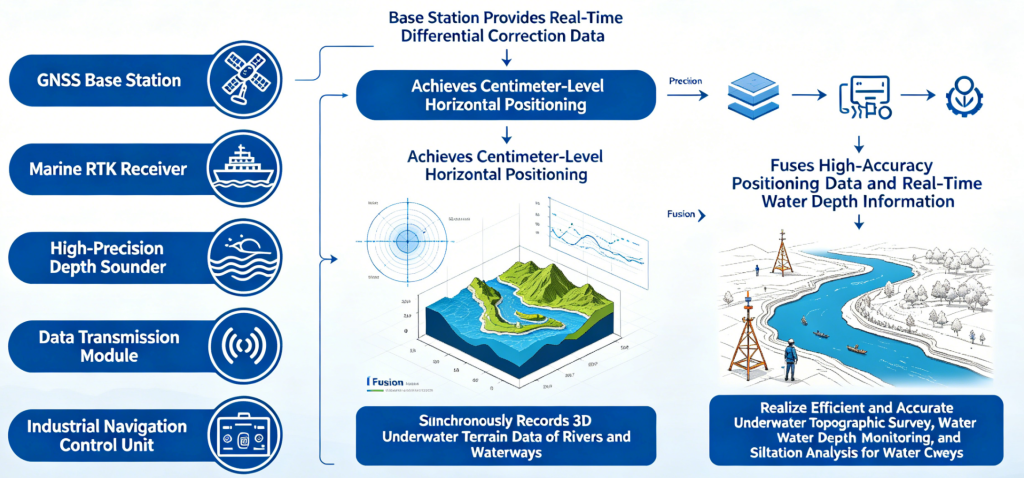
The ship-borne RTK water depth measurement system consists of an online NRTK service, marine RTK receiver, high-precision depth sounder, data transmission module, and industrial navigation control unit. The base station provides real-time differential correction data to achieve centimeter-level horizontal positioning. The system fuses high-accuracy positioning data and real-time water depth information, synchronously recording the 3D underwater terrain data of rivers and waterways. It realizes efficient and accurate underwater topographic survey, water depth monitoring and siltation analysis for water conservancy engineering.