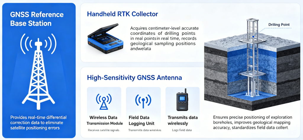
The geological drilling RTK acquisition system comprises an online NRTK service, a handheld RTK collector, a high-sensitivity GNSS antenna, a wireless data transmission module, and a field data logging unit. The base station provides real-time differential correction data to eliminate satellite positioning errors. The terminal acquires centimeter-level accurate coordinates of drilling points in real time, records geological sampling positions and survey data. It ensures precise positioning of exploration boreholes, improves the accuracy of geological mapping, and standardizes field geological exploration data collection.