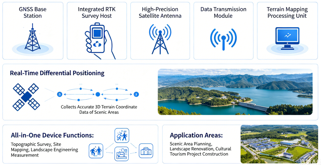
The scenic terrain survey RTK system includes an online NRTK service, an integrated RTK survey controller, a high-precision GNSS antenna, a data transmission module and a terrain mapping processing unit. Using real-time differential positioning, it acquires high-precision 3D terrain coordinate data for scenic zones. The all-in-one unit performs topographic surveying, site mapping and landscape engineering measurement. It delivers accurate data support for scenic area planning, landscape upgrading and cultural tourism project development.