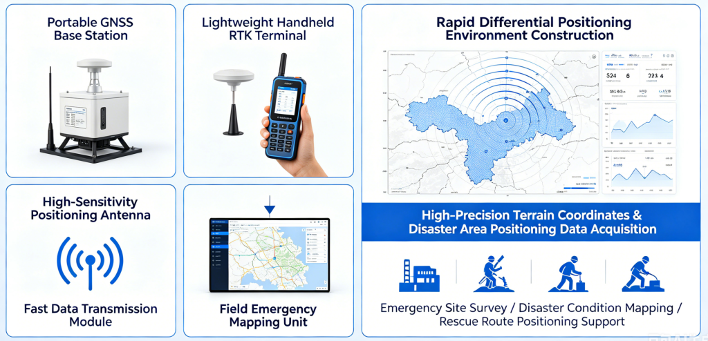
The emergency surveying RTK system is composed of an online NRTK service, a lightweight handheld RTK terminal, a high-sensitivity positioning antenna, a fast data transmission module and a field emergency mapping unit. It rapidly builds a differential positioning environment in the wild. The terminal quickly obtains high-precision terrain coordinates and disaster area positioning data. It supports emergency site survey, disaster condition mapping and rescue route positioning for emergency rescue and disaster relief operations.