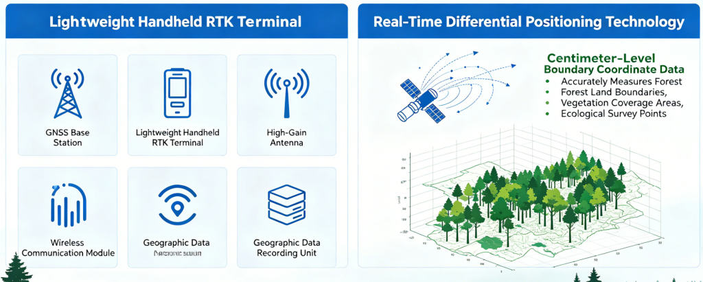
The forest boundary survey RTK system includes an online NRTK service, a lightweight handheld RTK terminal, a high-gain antenna, a wireless communication module and a geographic data recording unit. With real-time differential positioning technology, it obtains centimeter-level boundary coordinate data. The terminal accurately measures forest land boundaries, vegetation coverage areas and ecological survey points. It realizes standardized forest resource survey, boundary delimitation and ecological monitoring for forestry ecological protection.